


Kansas Geological Survey, Open-file Report 2019-3
Part of a project Addressing the Groundwater Goals of the Missouri Regional Planning Area
Addressing Groundwater Goals of the Missouri Regional Planning Area, Phase II: First Year Progress Report
by Geoffrey C. Bohling, Donald O. Whittemore, Andrea E. Brookfield, Edward C. Reboulet, Blake B. Wilson, James J. Butler, Jr.
KGS Open-file Report 2019-3
Kansas Water Office Contract #18-117
Introduction
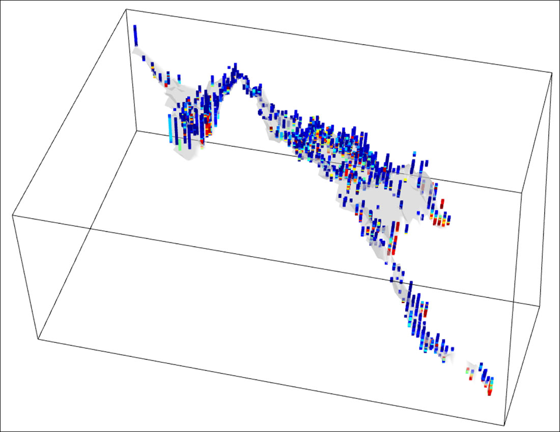
This report documents the work carried out during the first year of Addressing Groundwater Goals of the Missouri Regional Planning Area: Phase II, a five-year project funded by the Kansas Water Office (KWO Contract #18-117). As stated in the project's Scope of Work, "The objective of this work is to establish a groundwater-level and groundwater-quality monitoring network in the Missouri Regional Planning Area (MRPA) and interpret the results from the acquired data to provide improved estimates of safe yield and establish a groundwater quality baseline." Project tasks listed in the Scope of Work document are as follows:
Water Quantity
- Assess the accuracy and robustness of bedrock elevation and unconsolidated material maps generated in Phase I using a variety of interpolation methods.
- Identify exact locations of some existing wells, specifically those in areas where multiple wells with the same nominal (Public Land Survey System [PLSS]) location provide conflicting bedrock depth estimates.
- Identify locations of existing wells to equip with pressure transducers and locations for drilling new monitoring wells.
- Drill new monitoring wells in areas with limited existing wells to better understand groundwater availability and movement throughout the MRPA.
- Begin interpretation of groundwater-level surface and aquifer storage and safe yield.
Water Quality
- Interpret information reported in Phase I as it relates to chemical characteristics and provide potential explanations for concentration trends.
- Select groundwater sample collection sites and collect initial samples, with collaboration from Missouri Regional Advisory Committee members.
- Analyze collected groundwater samples for selected chemical constituents.
- Interpret analytical data and plan for future sampling.
Information Dissemination
- Put information collected in Phase I as well as Phase II into a user-friendly format and make available to stakeholders, researchers, and other interest groups.
All of these except Quantity Task 4 were addressed to at least some extent during year 1. The headings for each of the following sections will identify the tasks addressed in each section.
The complete text of this report is available as an Adobe Acrobat PDF file.
Read the PDF version (6.7 MB)
Kansas Geological Survey, Geohydrology
Placed online May 15, 2019
Comments to webadmin@kgs.ku.edu
The URL for this page is http://www.kgs.ku.edu/Geophysics/OFR/2019/OFR19_3/index.html