![](ksLarge1.gif)
April 1999 Progress Map (4/9/99)
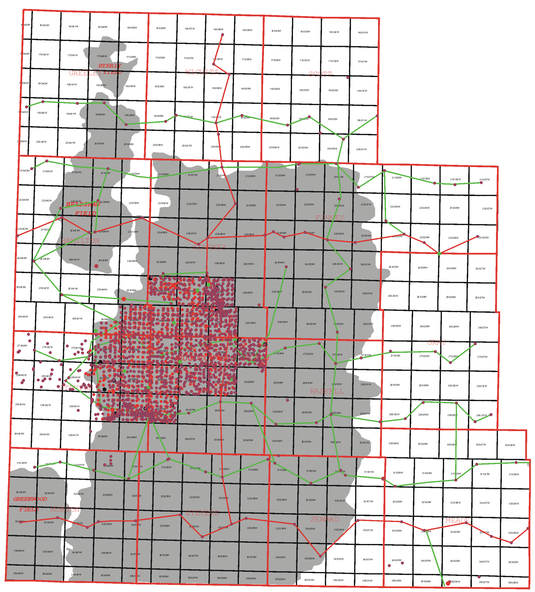
(Map is divided into 4 quadrants. Use your mouse and click
in NW,NE,SW or SE quadant to zoom up. Use the Back Button to return
to this screen)
![](april9.gif)
![](Marlegend.gif)
This
page maintained by the Kansas Geological Survey.
Updated June 1999
Comments to webadmin@kgs.ku.edu
URL=http://www.kgs.ku.edu/Hugoton/prog0499.html