Help us direct future mapping activities by leaving your voluntary comments here.
Comments about how you are using these maps are especially appreciated. Thank you!
Download the map from these links:
Saline County Geographic Map Files |
||
|---|---|---|
| JPEG version of the map (72 dpi, 4.8 MB): | view | download |
| JPEG version of the map (300 dpi, 45 MB): | view | download |
| PDF of the published map (40.5 MB): | view | download |
The Kansas Data Access and Support Center (DASC) has GIS data for this county
|
|
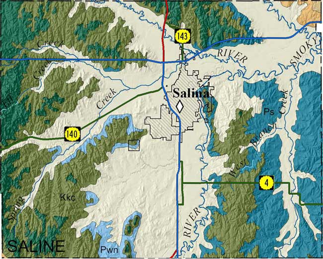
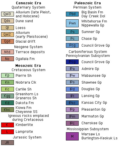
McCauley, J.R., 2011, Surficial geology of Saline County, Kansas; text and geologic-unit descriptions by C.M. Phillips-Lander and R.S. Sawin; cross section geology by R.S. Sawin: Kansas Geological Survey, Map M-123, 1 sheet, 59 x 40 inches, scale 1:50,000.
Paper copies of the complete map (with stratigraphic column and legend info) can be purchased from the Kansas Geological Survey, 1930 Constant Ave., Lawrence, KS 66047 (or phone 785-864-3965) and at 4150 W. Monroe St., Wichita, KS 67209-2640 (phone 316-943-2343).