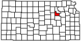
Geary County
|
|
Geary County |
|
Help us direct future mapping activities by leaving your voluntary comments here.
Comments about how you are using these maps are especially appreciated. Thank you!
Geary County Geographic Map Files |
||
|---|---|---|
| JPEG version of the map (72 dpi, 3.4 MB): | view | download |
| JPEG version of the map (300 dpi, 38.4 MB): | view | download |
| PDF of the published map (15.1 MB): | view | download |
| The Kansas Data Access and Support Center (DASC) has GIS data for this county | ||
|
|
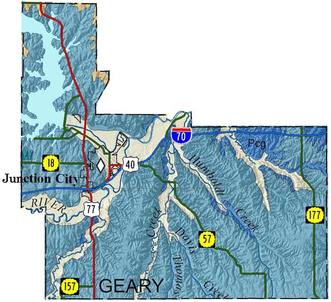
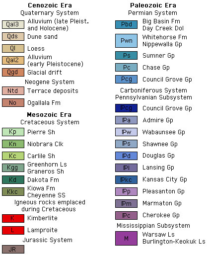
Sawin, R.S., and West, R.R., 2010, Surficial geology of Geary County, Kansas: Kansas Geological Survey, Map M-122, scale 1:50,000, 56 by 40 inches
Copies of the Geary County map can be purchased from the Kansas Geological Survey at 1930 Constant Ave., Lawrence, KS 66047-3724 (phone 785-864-3965, email pubsales@kgs.ku.edu) and at 4150 W. Monroe St., Wichita, KS, 67209-2640 (phone 316-943-2343, email wwsl@kgs.ku.edu).
Sawin, R.S., and West, R.R., 2010, Data Control Points Used to Construct the Surficial Geology Map (M-122) of Geary County, Kansas: Kansas Geological Survey, Open-file Report 2010-13, 218 p. [available online]
J.M. Jewett, 1941, The geology of Riley and Geary counties, Kansas: Kansas Geological Survey, Bulletin, no. 39, 164 pages [available online]
Cartographic Services, Kansas Geological Survey
Comments to webadmin@kgs.ku.edu
URL: