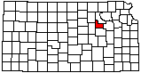
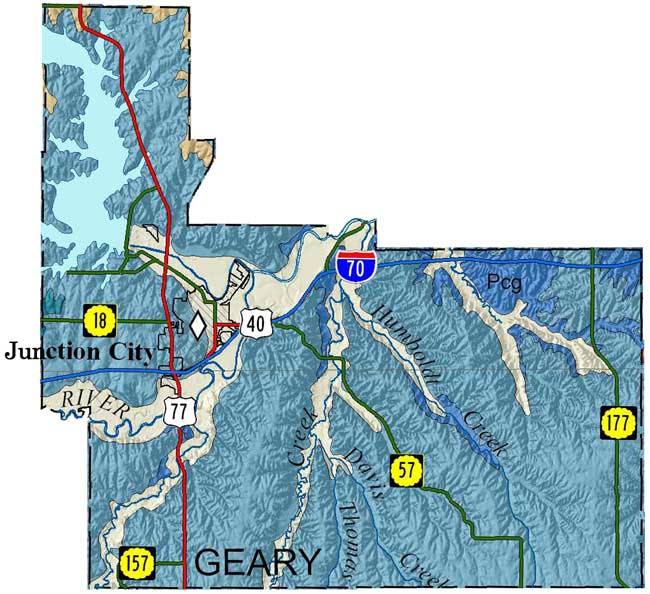
Geary County
|
|
Geary County |
|
|
|
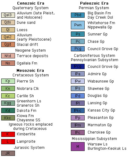
Sawin, R.S., and West, R.R., 2010, Surficial geology of Geary County, Kansas: Kansas Geological Survey, Map M-122, scale 1:50,000, 56 by 40 inches
Copies of the Geary County map are available from the Kansas Geological Survey at 1930 Constant Ave., Lawrence, KS 66047-3724 (phone 785-864-3965, email pubsales@kgs.ku.edu) and at 4150 W. Monroe St., Wichita, KS, 67209-2640 (phone 316-943-2343, email wwsl@kgs.ku.edu). The cost is $15 plus shipping and handling. Inquire about shipping and handling charges and, for Kansas residents, sales tax.
Sawin, R.S., and West, R.R., 2010, Data Control Points Used to Construct the Surficial Geology Map (M-122) of Geary County, Kansas: Kansas Geological Survey, Open-file Report 2010-13, 218 p. [available online]
J.M. Jewett, 1941, The geology of Riley and Geary counties, Kansas: Kansas Geological Survey, Bulletin, no. 39, 164 pages [available online]
The Kansas Data Access and Support Center (DASC) has ArcInfo coverages available for this generalized geologic data.
Cartographic Services, Kansas Geological Survey
Updated Dec. 1, 2010
Comments to webadmin@kgs.ku.edu
URL=http://www.kgs.ku.edu/General/Geology/County/ghj/geary.html