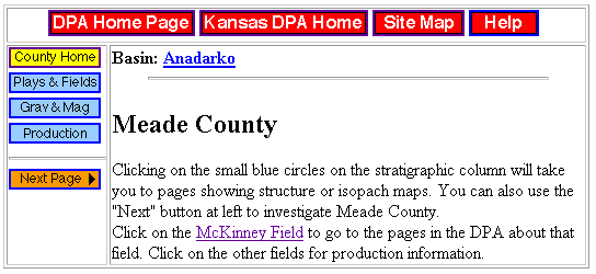
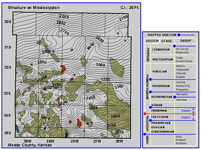
Figure 2. Meade County, a sample county page added to the Digital Petroleum Atlas in year 3. County page shows structure on top of Chestereran and contains a field study. Page shows typical navigation buttons and page layout. Map and stratigraphic column are interactive and linked to other county-scale maps and selected field studies. (http://www.kgs.ku.edu/DPA/County/klm/meade.html).