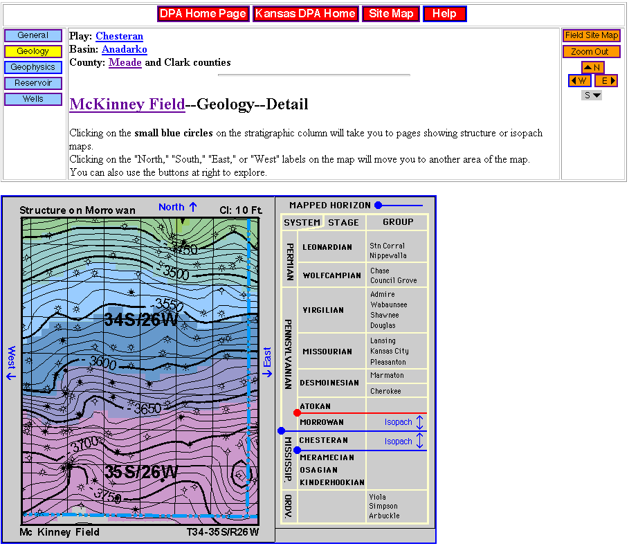
Figure 18. Sample of detailed geologic map covering a portion of McKinney Field, Meade County. Page shows navigation buttons, panning controls to move map location and selection of stratigraphic horizons. Map contains links to topical data, maps, cross-sections and technical discussions.