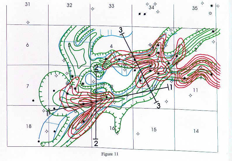
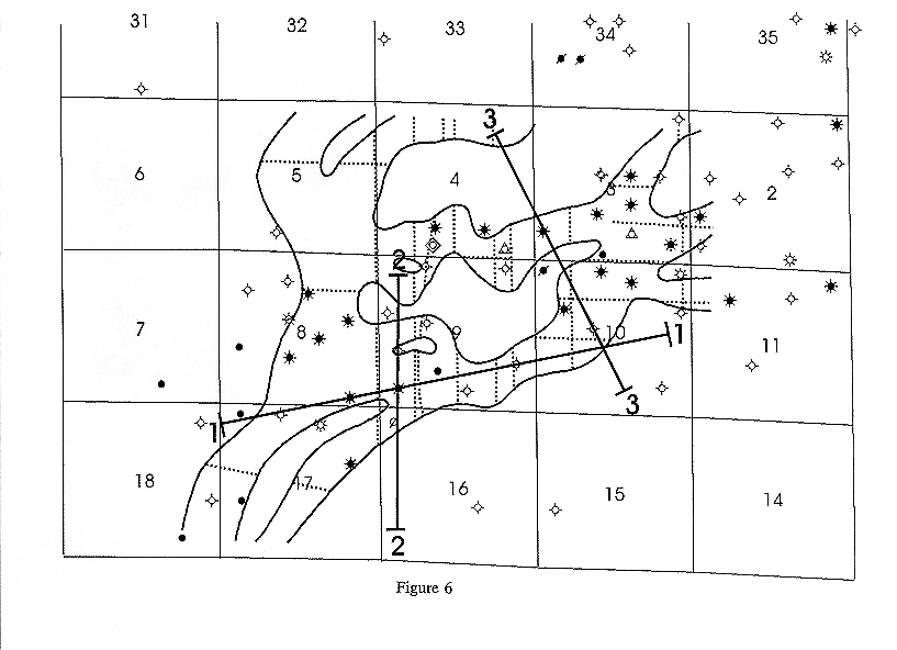
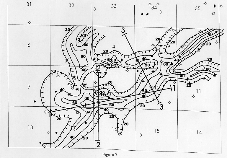
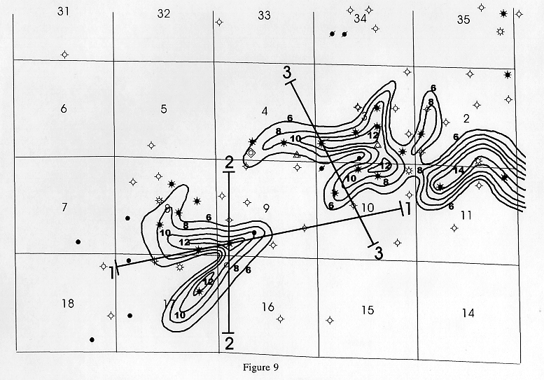
Figure 11. Combined maps of seismic channel anomaly(blue),Morrow to Mississippian isopach (green), and gross sand isopach (red) in Figures
6
,
7
, and
9
, along with seismic lines from present study.