


Kansas Geological Survey, Open File Report 96-49
GPR Study of The Drum Limestone, Figure 1
Please use the "Back" command of your browser to return to the page
you were viewing.
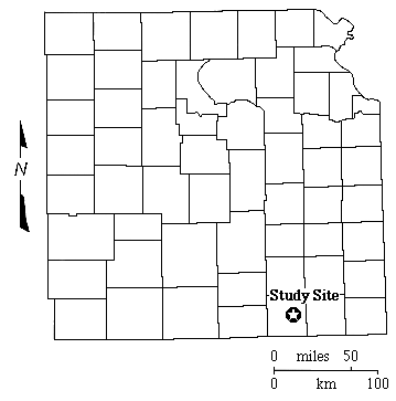
Figure 1--Map of eastern kansas with county
outlines showing the location of the Drum Limestone GPR study
site in Montgomery County.
Please use the "Back" command of your browser to return to the page
you were viewing.
Report Contents
Kansas Geological Survey, Open-File Report 96-49
Placed online Jan. 1997
Comments to webadmin@kgs.ku.edu
URL=http://www.kgs.ku.edu/PRS/publication/OFR96_49/fig1.html