| Year | Oil | Gas | ||||
|---|---|---|---|---|---|---|
| Production (bbls) |
Wells | Cumulative (bbls) |
Production (mcf) |
Wells | Cumulative (mcf) |
|
| 1995 | - | - | 147,274 | - | - | 0 |
| 1996 | 126 | 3 | 147,400 | - | - | 0 |
| 1997 | 74 | 3 | 147,474 | - | - | 0 |
| 1998 | 1,561 | 3 | 149,035 | - | - | 0 |
| 1999 | 2,655 | 6 | 151,690 | - | - | 0 |
| 2000 | 3,174 | 3 | 154,864 | - | - | 0 |
| 2001 | 3,165 | 3 | 158,029 | - | - | 0 |
| 2002 | 3,670 | 3 | 161,699 | - | - | 0 |
| 2003 | 3,169 | 3 | 164,868 | - | - | 0 |
| 2004 | 3,382 | 3 | 168,250 | - | - | 0 |
| 2005 | 1,735 | 3 | 169,985 | - | - | 0 |
| 2006 | 2,354 | 3 | 172,339 | - | - | 0 |
| 2007 | 1,129 | 4 | 173,468 | - | - | 0 |
| 2008 | 1,693 | 3 | 175,161 | - | - | 0 |
| 2009 | 1,564 | 3 | 176,725 | - | - | 0 |
| 2010 | 958 | 3 | 177,683 | - | - | 0 |
| 2011 | 1,233 | 3 | 178,916 | - | - | 0 |
| 2012 | 4,139 | 4 | 183,055 | - | - | 0 |
| 2013 | 1,947 | 4 | 185,002 | - | - | 0 |
| 2014 | 1,265 | 4 | 186,267 | - | - | 0 |
| 2015 | 472 | 4 | 186,739 | - | - | 0 |
| 2016 | - | - | 186,739 | - | - | 0 |
| 2017 | - | - | 186,739 | - | - | 0 |
| 2018 | - | - | 186,739 | - | - | 0 |
| 2019 | - | - | 186,739 | - | - | 0 |
| 2020 | - | - | 186,739 | - | - | 0 |
| 2021 | - | - | 186,739 | - | - | 0 |
| 2022 | 313 | 1 | 187,052 | - | - | 0 |

Active
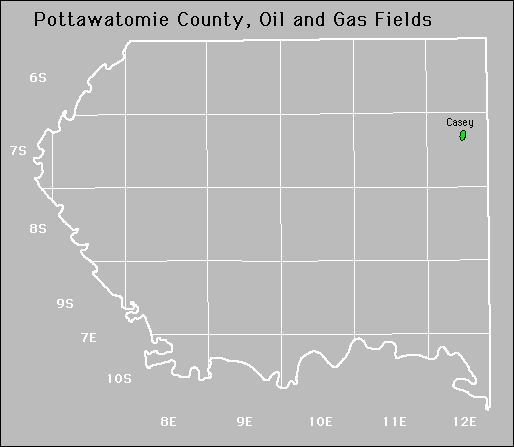
Casey
Forest City Coal Gas Area
Noxie
No Abandoned fields.