

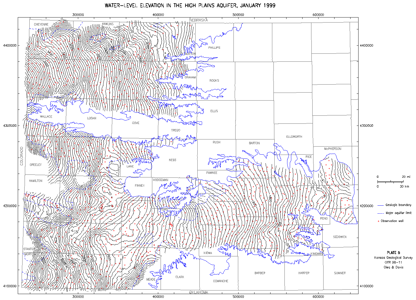
Water Levels--1999 Map 5--Small Map
Water-Level Elevation in the High Plains Aquifer, January 1999
This map is the size of the original paper map.
A Larger Version is available.
The larger map is 40" by 28" and is 228k.
Kansas Geological Survey, Water Level CD-ROM
Send comments and/or suggestions to webadmin@kgs.ku.edu
Updated March 8, 2000
URL = http://www.kgs.ku.edu/Magellan/WaterLevels/CD/Maps/1999/map5S.htm