

Water Levels--1998 Map 5--Small Map
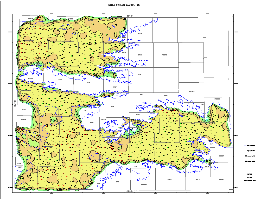
Kriging Standard Deviation, 1997
This map is 1/4 the size of the original paper map.
A Larger Version is available.
The larger map is 28" by 22" and is 132k.
Kansas Geological Survey, Water Level CD-ROM
Send comments and/or suggestions to webadmin@kgs.ku.edu
Updated Feb. 25, 1998
URL = http://www.kgs.ku.edu/Magellan/WaterLevels/CD/Maps/1998/map5S.htm