The links below contain data from the 2005 water level survey where the data was measured by the Kansas Geological Survey. Please also see the Division of Water Resources data set. The data is stored in comma-delimited, ASCII files that should be readable by normal spreadsheet or database software.
Hold your right mouse button down when you click on the link and select "Save Link to Disk" from the pop-up menu that appears. Otherwise the data file will be displayed as a normal web page. On Macintosh computers, hold your mouse button down and a pop-up menu should appear.
One file containing all 2005 well information and 1995-2005 level readings
for all counties, taken by the Kansas Geological Survey, sorted by county
(617 records for 564 wells).
kgsCnty.txt
Data files containing all 2005 well information and 1995-2005 level readings, taken by the Kansas Geological Survey, split into county files. Select from the map or text links below. The red numbers are the number of records in the file, which may be greater than the number of wells due to quality control readings.
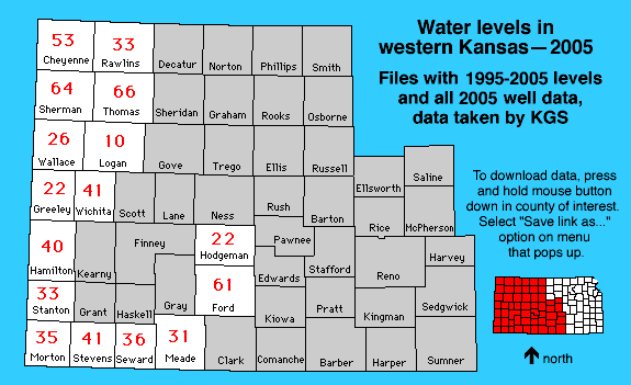
Cheyenne || Ford ||
Greeley || Hamilton ||
Hodgeman || Logan ||
Meade || Morton
Rawlins || Seward ||
Sherman || Stanton ||
Stevens || Thomas ||
Wallace || Wichita
Kansas Geological Survey, Water Level CD-ROM
Send comments and/or suggestions to webadmin@kgs.ku.edu
Updated Feb. 16, 2005
Available online at URL = http://www.kgs.ku.edu/Magellan/WaterLevels/CD/Data/cntyKLg.htm