


KGS Data sets--Summary of Depth to Water Measurements
Sorted by County--Formatted for Screen Viewing
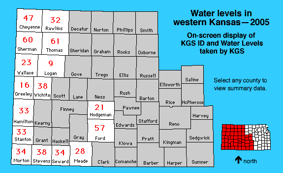
The links below contain data from the 2005 water level survey taken
formatted for display on the screen. Select by clicking on the map or
using the text links below. The red numbers are the number of wells attempted.
Some wells have additional QA or QC readings, and some wells could not be
measured.
This data set contains the KGS Well ID and the Depth to Water (in feet) from
the January 2005 water level survey where the data was measured by the
Kansas Geological Survey. Please also see the
Division of Water Resources data set.
Cheyenne || Ford ||
Greeley || Hamilton ||
Hodgeman || Logan
Meade || Morton ||
Rawlins || Seward ||
Sherman || Stanton
Stevens || Thomas ||
Wallace || Wichita
Kansas Geological Survey, Water Level CD-ROM
Send comments and/or suggestions to webadmin@kgs.ku.edu
Updated Feb. 15, 2005
Available online at URL = http://www.kgs.ku.edu/Magellan/WaterLevels/CD/Data/appA.htm