


|
|
|
|
|
Below is material--some now outdated--from Open-file Report 2001-10, Kansas Geological Survey:
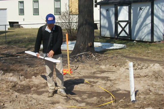
In March, 2001, the Kansas Geological Survey conducted a study on the feasibility of using the electromagnetic (EM) method to locate abandoned brine wells in Hutchinson, Kansas (see Xia, 2001).
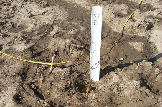
EM signals from a known well were first recorded to determine what kind of anomaly would be identified as possible buried wells. The known well is 8C, the abandoned brine well where the explosion occurred in the mobile home park.
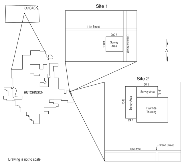
The signals were then compared with EM reconnaissance results. The map below shows locations were electromagnetic (EM) surveys were conducted as part of an effort to locate abandoned brine wells.
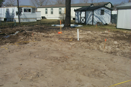
EM anomalies identified in the field (except one) were verified immediately. An example of an observed anomaly at Site 1 is shown in the figure below at point (65,161).
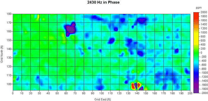
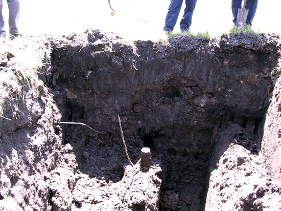
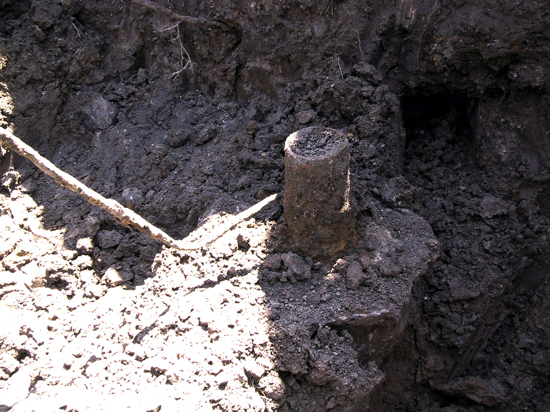
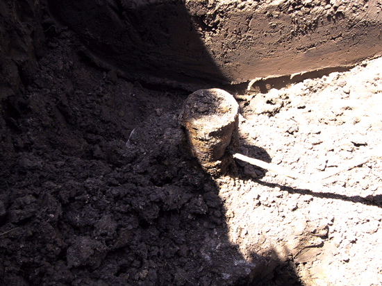
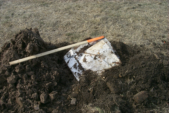
A backhoe was used to dig up anomalies. The anomaly observed in the above plot was caused by buried pipes, seen in the photo below.
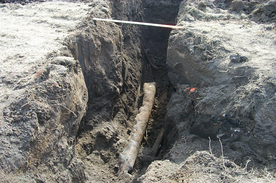
Items identified included steel pipes, junk metal, sheet metal, and the steel cap of a septic tank.
Although no brine well was found on the proposed sites, the EM survey was successful from a geophysical point of view because it showed promise and effectiveness in locating the brine wells.
For more information, see the following report:
Xia, J., 2001, Feasibility study on using the electromagnetic method to locate abandoned brine wells in Hutchinson, Kansas: Open-file Report 2001-10, Kansas Geological Survey.
See also SMRI Request for Proposals
Prev Topic--Groundwater Monitoring || Next Topic--References and Links