![]()
Links for South Dakota
Organizations > National/Regional
- Bureau of Land Management, Montana/Dakotas
- manages surface activities on 261 million acres of public land, located primarily in the 12 Western States
- Bureau of Reclamation, Great Plains Region
- encompasses nine western states,and hundreds of irrigation projects, dams, and other water-supply related facilities
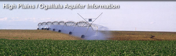
- High Plains Regional Climate Center
- climate data and maps for High Plains area
- Natural Resources Conservation Service South Dakota
- National Water and Climate Center
- Agricultural Research Service, Northern Plains Area
- research projects in agriculture, nutrition, technology, the environment and other topics
- South Dakota Agricultural Statistics Service
- agricultural crop and animal statistics
- US Environmental Protection Agency Region 8
- serving Colorado, Montana, North Dakota, South Dakota, Utah, Wyoming and 27 Tribal Nations
- STORET Database Access
- water quality data
- Surf Your Watershed
- watershed data search
- Water--South Dakota
- from U.S. Environmental Protection Agency
- Fact Sheets (Listed by State)
- from U.S. Geological Survey
- Ground Water Atlas of the United States: Montana, North Dakota, South Dakota, Wyoming
- text and maps on High Plains aquifer in these states
- National Water-Quality Assessment (NAWQA) Program--High Plains Regional Ground Water Study
- Water Data for South Dakota (NWISWeb)
- Water Resources of South Dakota
- from U.S. Geological Survey
- Water-Quality Data for South Dakota
- from U.S. Geological Survey