B. B. Wilson, J. A. Schloss, R. W. Buddemeier
Boldface items are linked to other sections; italic items are linked to glossary definitions
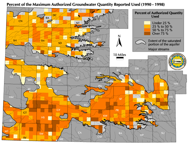
Definition: Percent of authorized quantity used compares the reported actual use of water with the amount that could have been used. Every water right has a set amount or authorized quantity of water that can be used each year. In addition, every water right holder is required by state law to complete and return an annual water use report that is used for, among other things, estimating the total amount of water used for that calendar year.
Relevance to understanding water resources: The percent
of the authorized water quantity used is a measure of the total water right
activity, relative to total potential usage, that is occurring within the
state. It can be used to identify locations where water rights are
being used to their full extent, and compare those locations with aquifer
conditions elsewhere. A variety of factors influence the percentage
of the authorized quantity actually used from year to year. These
include economic conditions, farm management programs, climate variations,
and water Availability and Accessibility.
![]() Map of Average Percent of Maximum Authorized Groundwater
Used
Map of Average Percent of Maximum Authorized Groundwater
Used
Discussion: The water usage map shows the average amount of groundwater used expressed as a percentage of the maximum authorized quantity appropriated, and is summarized by PLSS township using reported water use data from 1990 to 1998. For water rights within the Kansas High Plains aquifer region as a whole, the average percent of the maximum authorized use of groundwater is just over 50 percent.
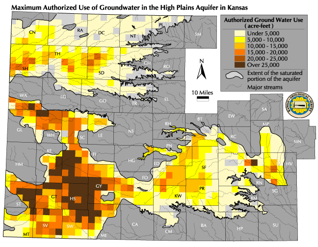
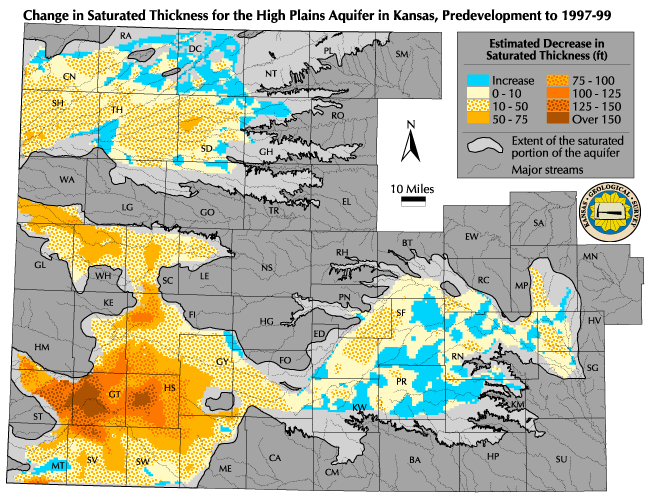
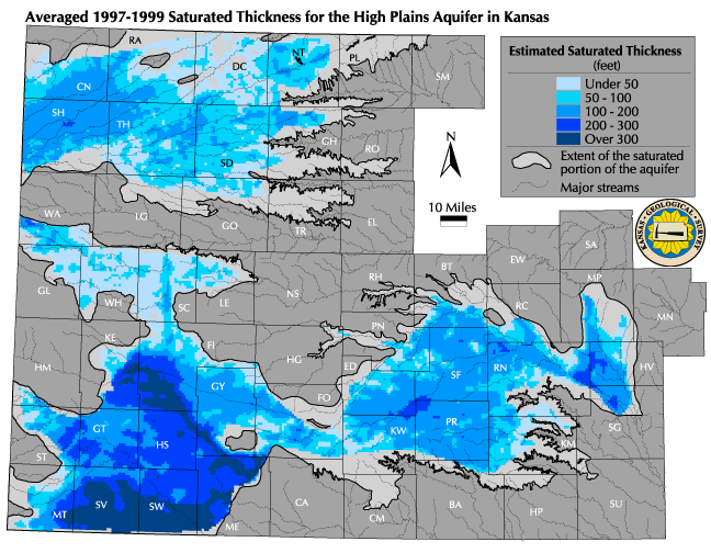
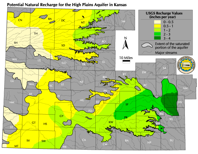
Comparing this map to the maps of Maximum Authorized Use, Actual Change in Saturated Thickness, Current 1997-1999 Saturated Thickness, and Potential Natural Recharge reveals some interesting patterns. Both the relatively higher maximum authorized use and the percentage of that use in southwestern Kansas can be associated with the greater actual decline in saturated thickness for the same area. The relatively low percentage of use in west-central Kansas (the GMD1 area) is arguably a function of the current reduced saturated thickness of the aquifer in that area.
Data Sources and Methods: The reported water use information was obtained from the KDA-DWR Water Rights Information System for each year between 1990 and 1998. Because each water use report is tied to the point where water is diverted, the amount of water reported each year was summarized by PLSS township. For each township, the water usage from 1990 to 1998 was averaged. This averaged value was then divided by the total authorized quantity (see Current Maximum Authorized Use Map) to get the average percent of the total quantity that was reported to have been used from 1990 to 1998.
Qualifications: The KDA-DWR currently does not maintain historic changes in a water right's authorized quantity. Because the amount of water authorized for use by a water right each year can change based a variety of factors (combined with the fact that the number of water rights continue to grow each year), comparing current values to past reported water use amounts can lead to incorrect assumptions. The procedure used to develop the data presented in this section of the atlas provides a reasonable estimate of the percent of the maximum authorized quantity based on the scale of the data presented on the map and the time period over which the data has been averaged.
See also: Current Maximum Authorized Use, Water Usage
Next section: Estimated Usable Lifetime
Back to Directory
Funded (in part) by the Kansas Water Plan Fund