Stafford County
|
|
Stafford County |
|
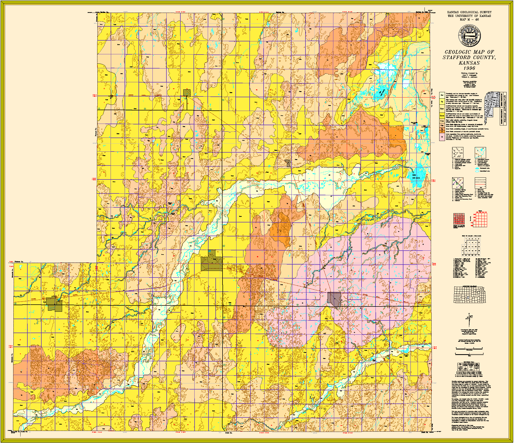
Arbogast, A.F. and Johnson, W.C., 1996, Geologic map of Stafford County,
Kansas: Kansas Geological Survey, Map M-46, scale 1:50,000, 40 x 40 inches
Paper copies of the complete map (with stratigraphic column and legend info) can be purchased from the Kansas Geological Survey, 1930 Constant Ave., Lawrence, KS 66047 (or phone 785-864-3965) and at 4150 W. Monroe St., Wichita, KS 67209-2640 (phone 316-943-2343).
Latta, B.F., 1950, Geology and ground-water resources of Barton and Stafford counties, Kansas: Kansas Geological Survey, Bulletin 88, 228 p. (out of print, available online)