


Kansas Geological Survey, Open-File Rept. 93-1B
Statistical Methods for Delineating
Water Quality--Figure 1
Please use your browser's "Back" command to return to the page you were viewing.
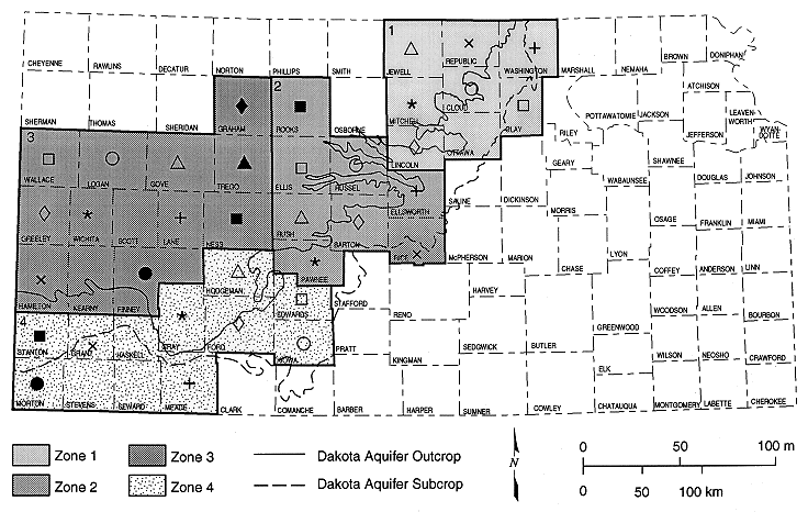
Figure 1
Location of study area subdivided into groups on the
basis of geology. Zones 1 to 4 are used for plotting of trilinear
diagrams and statistical tests. Symbols represent counties in each zone
in figures 2 and 3.
Please use your browser's "Back" command to return to the page you were viewing.
Start of this report ||
Table of Contents
Kansas Geological Survey, Dakota Aquifer Program
Original report available from the Kansas Geological Survey.
Electronic version placed online Nov. 1998
Scientific comments to P. Allen Macfarlane
Web comments to webadmin@kgs.ku.edu
URL=http://www.kgs.ku.edu/Dakota/vol3/ofr93_1b/fig1.htm