Basin: Anadarko
County: Finney County
|
| ||
|
|
Plays: Lansing
(Missourian),
Marmaton (Upper
Desmoinesian), and
St. Louis (Lower
Mississippian)
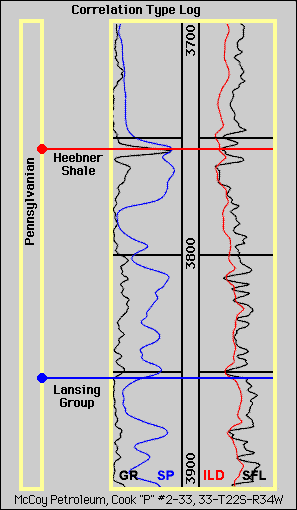
Basin: Anadarko County: Finney County Terry FieldClicking on the small blue circles or on the blue labels on the stratigraphic column will take you to pages showing structure or isopach maps. |
|